PART II — THE KITAMAEBUNE
2.2
Routes Mapped to Europe
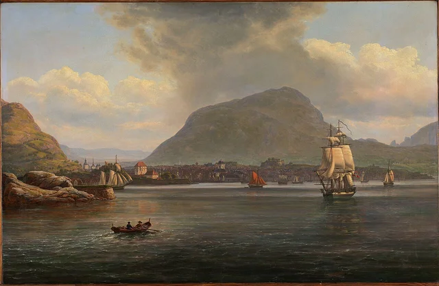
Nagakubo Sekisui, 'Kaisei Nihon Yochi Rotei Zenzu' (Revised Complete Map of Japanese Lands and Roads), 1779. Woodblock print. The first commercially published map of Japan to use a grid system, showing the major shipping lanes along the coast. Library of Congress, Geography and Map Division. Public domain.
European readers tend to underestimate the kitamaebune as small-scale coastal shipping. They imagine Japan as small. But Japan is not small.
The Illusion of Scale
The sea route from Osaka to Hakodate is roughly 2,200 km — the same distance as Rotterdam to Gibraltar.
A Dense Network
Each voyage called at 20 to 40 ports. The captain analyzed prices and weather in real time at every stop. The ship was an entrepreneur's mobile office.
The Six-Month Cycle
Spring: load salt and indigo in Osaka. Trade at every port en route. Sakata for premium rice, Hokkaido for herring meal and kelp. Race south before the autumn storms. Every year, for two hundred years.
The Gap BOREAL Fills
The Hanseatic League appears in every European history textbook. But a maritime trade network of comparable scale and sophistication, operating in the Far East for two centuries, is almost entirely absent from European historical education. This gap is what BOREAL exists to fill.